
Mangrove Baseline Feasibility Studies
GERF has undertaken significant baseline feasibility studies focusing on mangrove ecosystems across various regions of Tanzania. These studies are crucial for understanding the extent of deforestation, identifying contributing factors, and developing sustainable conservation strategies.
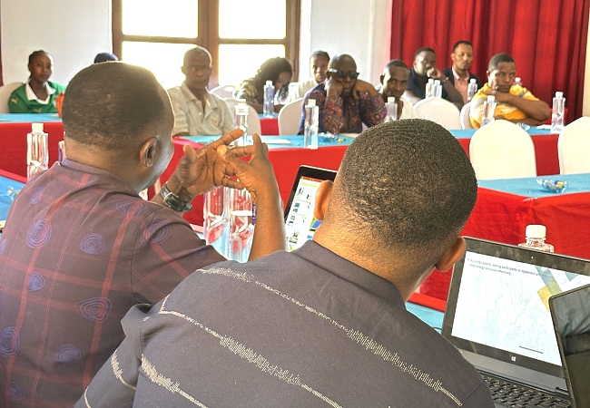
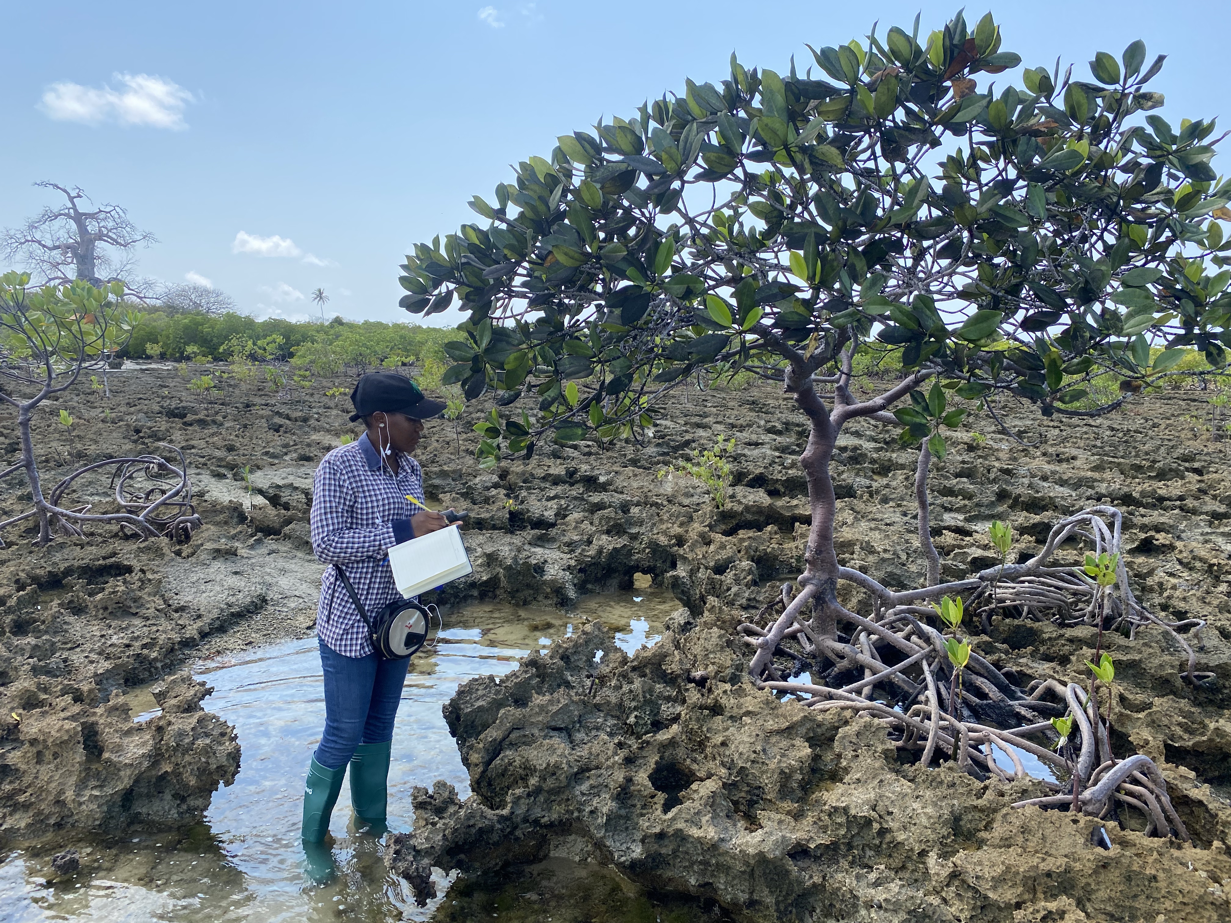
Activities conducted during studies.
GPS Data Collection and Boundary Mapping: Field teams utilized GPS technology to record precise coordinates of mangrove boundaries, degraded patches, and areas of illegal activity. This data was used to create detailed spatial maps of the study sites.
Site Assessments and Inventory: Comprehensive field assessments were performed to inventory mangrove species, assess tree health, and measure parameters such as tree height and diameter at breast height (DBH) to estimate biomass and carbon stocks.
GIS and Remote Sensing Analysis: Collected GPS data was integrated into Geographic Information Systems (GIS) to analyze temporal changes in mangrove cover. Satellite imagery was often used as a baseline to compare current field observations with historical data.
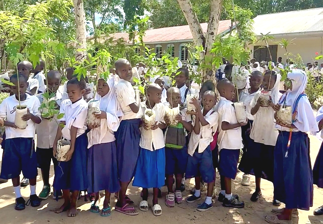
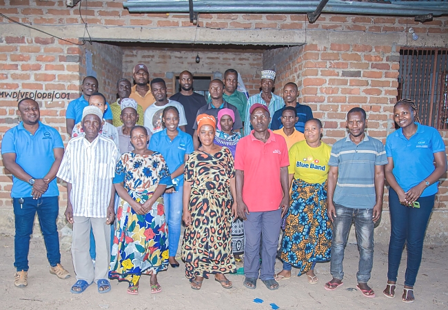
Socio-Economic Surveys: To understand the drivers of deforestation, such as illegal cutting for charcoal, researchers conducted structured interviews and focus group discussions with local communities in areas like Pemba Mnazi.
Mnazi Bay (Kigamboni)
In the Pemba Mnazi area of Kigamboni, GERF conducted assessments to investigate the factors leading to mangrove destruction. The findings highlighted issues such as illegal cutting for charcoal production. In response, GERF is actively exploring and implementing alternative sustainable income opportunities for local communities. This approach aims to reduce reliance on environmentally damaging activities by fostering community involvement and collaboration with stakeholders, thereby promoting a sustainable balance between human livelihoods and ecosystem health
Mtwara, Mafia, Tanga, and Dar es Salaam Regions
Further feasibility studies were conducted in mangrove sites within Marine Parks across Mtwara, Mafia, Tanga, and Dar es Salaam regions. These areas include significant marine protected areas such as the Mnazi Bay Ruvuma Estuary Marine Park and the Mafia Island Marine Park. The baseline surveys in these regions focused on assessing species diversity, overall ecosystem health, and the status of natural resources within the mangrove habitats. These studies are integral to broader national conservation efforts aimed at strengthening the management of Marine Protected Areas (MPAs) in Tanzania.
Hadzabe Culture Baseline Survey (2024)
In 2024, GERF also conducted a baseline survey on the Hadzabe culture. The Hadzabe are an indigenous hunter-gatherer community primarily residing in northern Tanzania. This survey aimed to understand and document their unique cultural practices, traditions, and their historical stewardship of the land. The study is particularly relevant in the context of ongoing challenges faced by indigenous communities, including issues of forced assimilation and the impact of modern education on traditional cultural practices. Such baseline data is vital for efforts to preserve intangible cultural heritage and support the rights and well-being of the Hadzabe people.